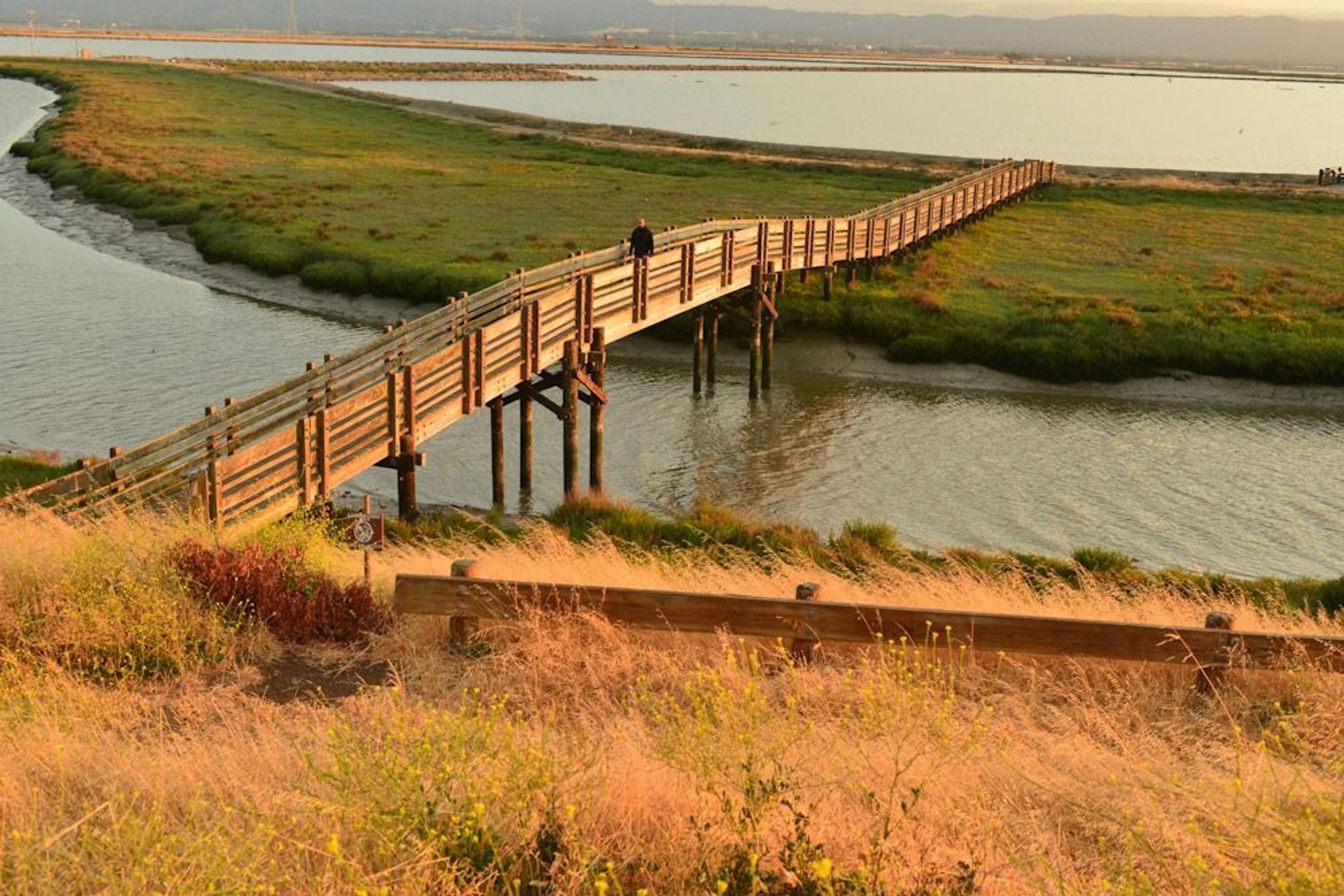
The Tidelands Trail traverses uplands, tidal slough, salt pond, and tidal salt marsh. Shorebirds and grebes are plentiful in the pond during the winter,and Forster's tern and American Avocets in the summer. The tidal marsh is home to the endangered Ridgeway Quail.
Tidelands
Point of Interest
0 Reviews
Claim
Share
Favorite
Social
Additional Information
Activities
Biking
Dog Walking
Walking
Hiking
Trail Running
Wildlife Watching
National Recreation Trail Details
Length: 1.3 Miles
Loop Trail: No
Primary Trail Type: -
Additional Trail Types: -
Agency: U.S. Fish & Wildlife Service
Entry Fee: -
Fee Notes: -
Parking Fee: -
Permit Fee: -
Trail Use Notes:
None
Seasonal Use Notes:
None
Location: Suburban, At San Francisco Bay NWR, accessed at interpretive center at E end of Dumbarton Bridge across the bay.
County: Alameda
State: CA
Townships: -
Driving Directions:
From HWY 84 on the east side of the Dumbarton Bridge, take Thornton Ave. exit. Drive 0.6 miles south on Thornton Ave. Turn right to Marshlands Rd. Turn left into the parking lot at the stop sign. The trail starts near the flagpole.
Average Grade: -
Maximum Grade: -
Elevation High: -
Elevation Low: -
Elevation Gain: -
Average Width: 72 Inches
Minimum Width: -
Primary Surface: Soil
Additional Surfaces: -
Year Designated: 1981
Documents
- 2157_TrailMap.pdf - USFWS Trail Map