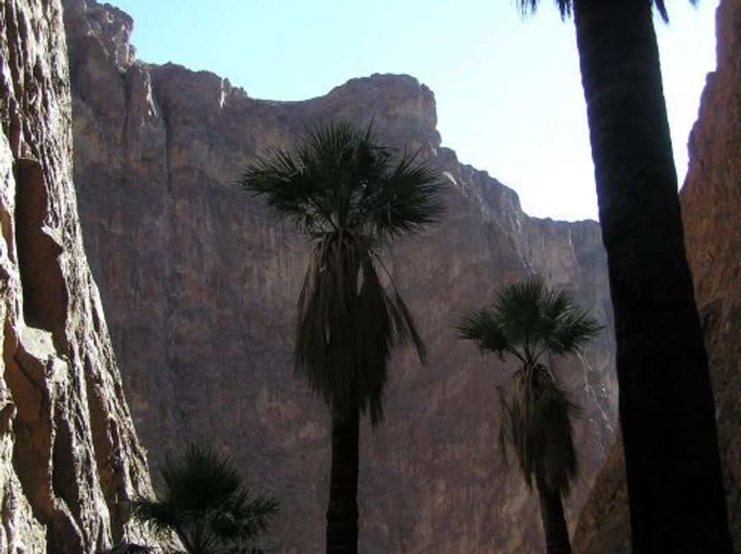
The Palm Canyon Trail is a moderately easy, half-mile trail that winds up toward the base of the canyon. This trail leads to a small sign on a slightly elevated area near the middle of the canyon. By looking upward in the narrow, north trending side canyon, you will see the palms clearly. For a short time, at mid-day, the trees are well lighted for pictures. Otherwise, the trees are shaded. Beyond the trail, there is the prospect of hiking further up into the canyon. This hike is much steeper and without a defined trail, but allows for up-close examination of the magnificent palms!


Palm Canyon
Point of Interest
Additional Information
Activities
National Recreation Trail Details
Length: 0.5 Miles
Loop Trail: No
Primary Trail Type: Backcountry
Additional Trail Types: -
Agency: U.S. Fish & Wildlife Service
Entry Fee: -
Fee Notes: -
Parking Fee: -
Permit Fee: -
Trail Use Notes:
None
Seasonal Use Notes:
None
Location: Kofa National Wildlife Refuge, Along U.S. Highway 95 in Kofa NWR, at mile 85 northeast of Yuma.
County: Yuma
State: AZ
Townships: -
Driving Directions:
-
Average Grade: 12%
Maximum Grade: 25%
Elevation High: 2440 Feet
Elevation Low: 2120 Feet
Elevation Gain: -
Average Width: -
Minimum Width: -
Primary Surface: Crushed Rock
Additional Surfaces: Crushed Rock
Year Designated: 2007
Documents
- 3503_PalmCanyonFactSheet2014_508.pdf - UFWS Palm Canyon Trail Fact Sheet