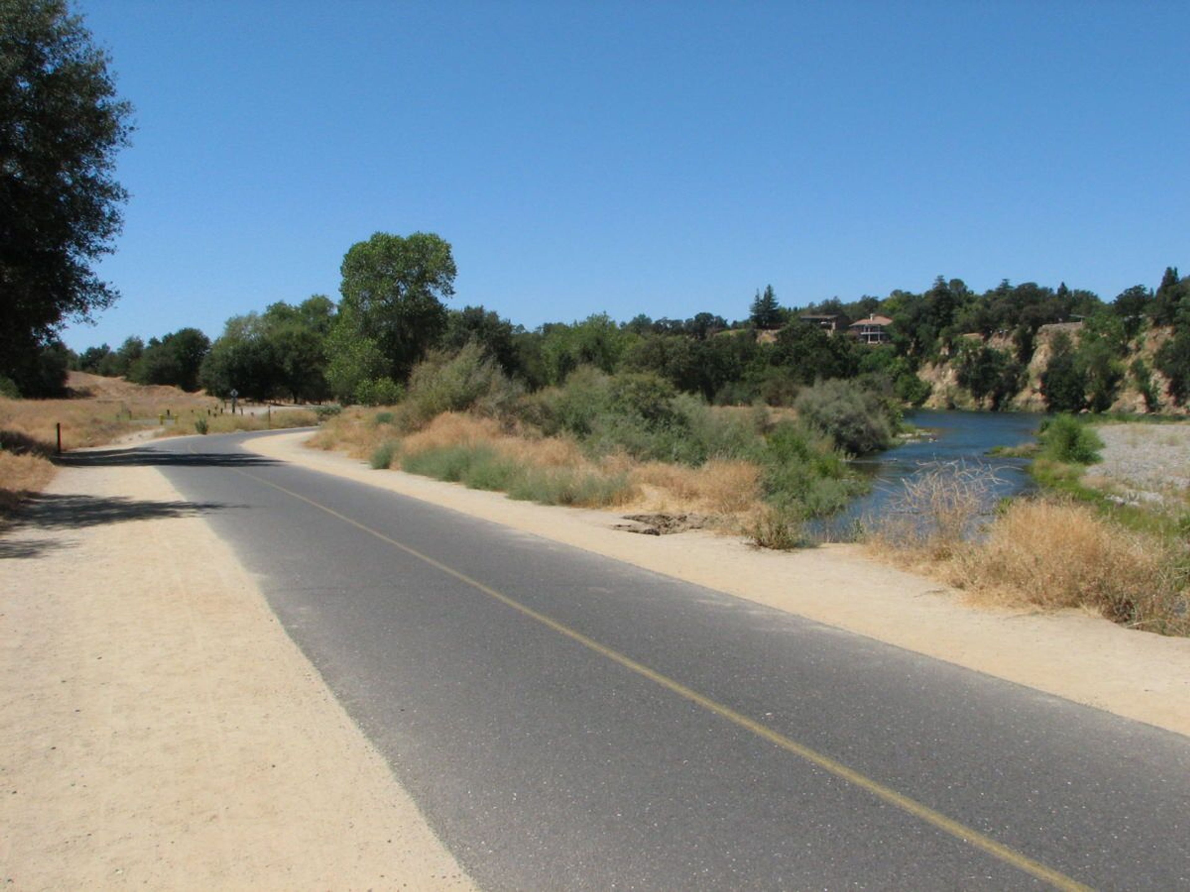
The Jedediah Smith Memorial Trail (or American River Bike Trail) is a paved multi-use pathway that runs between the confluence of the Sacramento River with the American River, just north of downtown Sacramento, CA, and Beal's Point at Folsom Lake, north of Folsom, CA. The trail is 32 miles (51 km) long, and is used as a major recreational destination, as well as a commuter artery for cyclists. The trail is considered one of the longest paved purpose-built bike trails in the country. Activities along the trail include hiking, horseback riding, cycling, inline skating, jogging and strolling. It is also a very popular, healthy, environmentally sound alternative for commuting to work. Visitors often combine their trail activities with shopping or eating, while others enjoy fishing or picnicking beneath a shady tree. Equestrian access to the paved trail surface is allowed only at trail crossings and bridges.


Jedediah Smith
Point of Interest
Additional Information
Activities
National Recreation Trail Details
Length: 26 Miles
Loop Trail: No
Primary Trail Type: Fitness Trail, Greenway
Additional Trail Types: -
Agency: City, Town, or County
Entry Fee: -
Fee Notes: -
Parking Fee: 5
Permit Fee: -
Trail Use Notes:
None
Seasonal Use Notes:
None
Location: E Along American River Greenway from Sacramento to Folsom.
County: Sacramento
State: CA
Townships: Folsom, Rancho Cordova, Sacramento
Driving Directions:
The Trail can be accessed from most parks in the American River Parkway and from parks in Folsom including:
•Discovery Park
•Howe Avenue River Access
•Paradise Beach
•Riverbend Park
•Rossmoor Bar
•Sacramento Bar
•Sailor Bar
•Sarah Court
•Upper/Lower Sunrise River Access
•Waterton Access
•Watt Avenue Access
•William B. Pond
Average Grade: -
Maximum Grade: -
Elevation High: -
Elevation Low: -
Elevation Gain: -
Average Width: -
Minimum Width: -
Primary Surface: Asphalt
Additional Surfaces: Crushed Rock, Soil, Soil, compacted
Year Designated: 1974
Stewardships
 In Partnership WithAmerican Trails