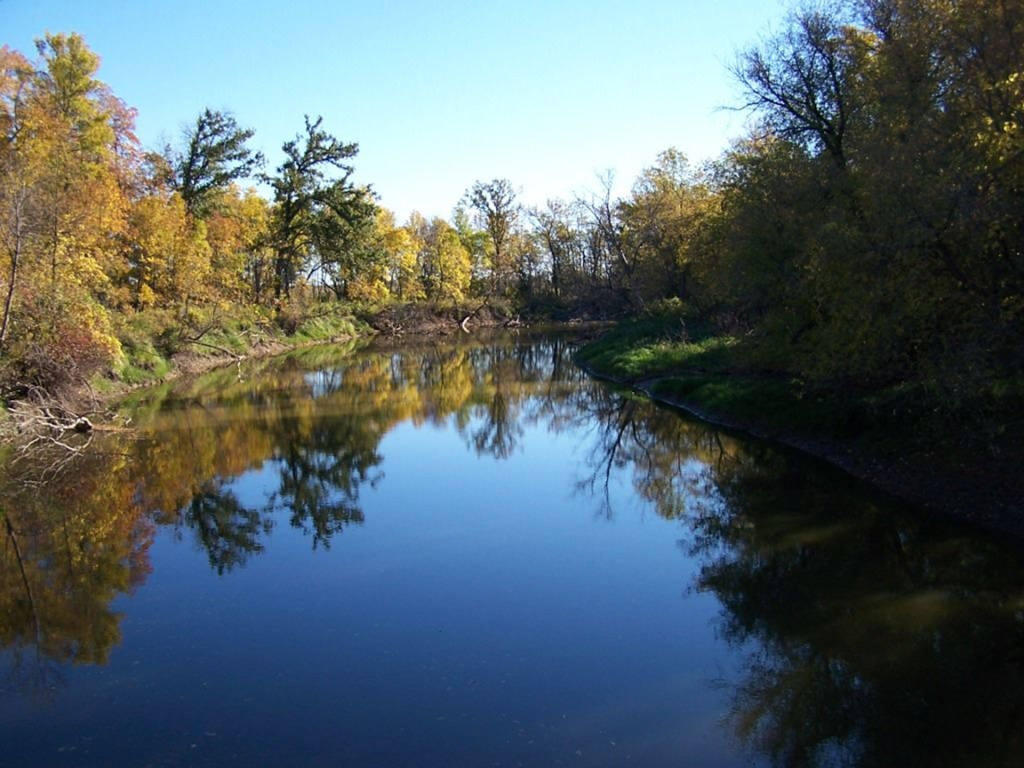
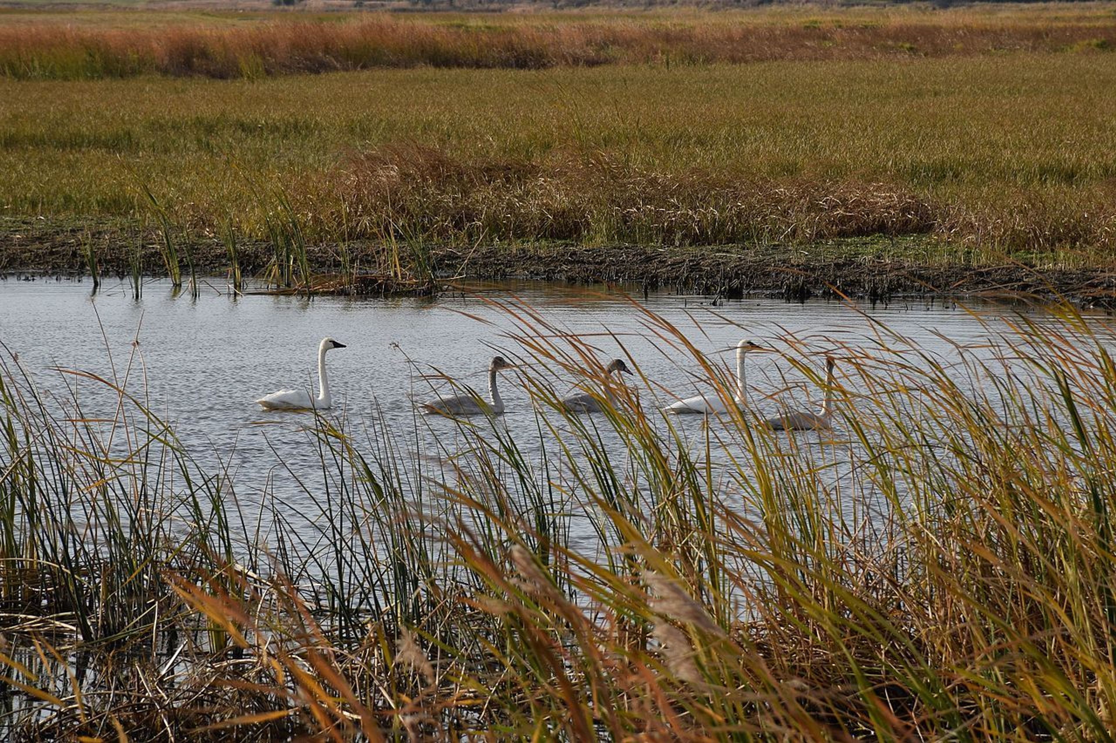
Certified in 1981 this is North Dakota's only nationally recognized canoe trail and is located on the J. Clark Salyer National Wildlife Refuge. The Souris (or Mouse) River flows north here into Canada. A 5-mile route (2 to 3 hours) or a 13-mile route (5 to 7 hours) can be taken. The trail is well marked with mile markers and 3 access points along the river. There are also foot trails, interpretive displays and a visitor contact station at the Refuge Headquarters.


J. Clark Salyer NWR: Souris River Canoe Trail
Point of Interest
Additional Information
Activities
National Recreation Trail Details
Length: 13 Miles
Loop Trail: No
Primary Trail Type: Nature Trail, Water Trail
Additional Trail Types: -
Agency: U.S. Fish & Wildlife Service
Entry Fee: -
Fee Notes: -
Parking Fee: -
Permit Fee: -
Trail Use Notes:
None
Seasonal Use Notes:
None
Location: At J. Clark Salyer National Wildlife Refuge, N of Upham, off State Route 14.
County: McHenry
State: ND
Townships: -
Driving Directions:
The Refuge office is located 2 miles north of Upham, ND off of Highway 14. The canoe route is accessed via the Scenic Trail Auto Tour Route and starts at Johnson Bridge.
Average Grade: -
Maximum Grade: -
Elevation High: -
Elevation Low: -
Elevation Gain: -
Average Width: -
Minimum Width: -
Primary Surface: -
Additional Surfaces: -
Year Designated: 1981
Stewardships
 In Partnership WithAmerican Trails