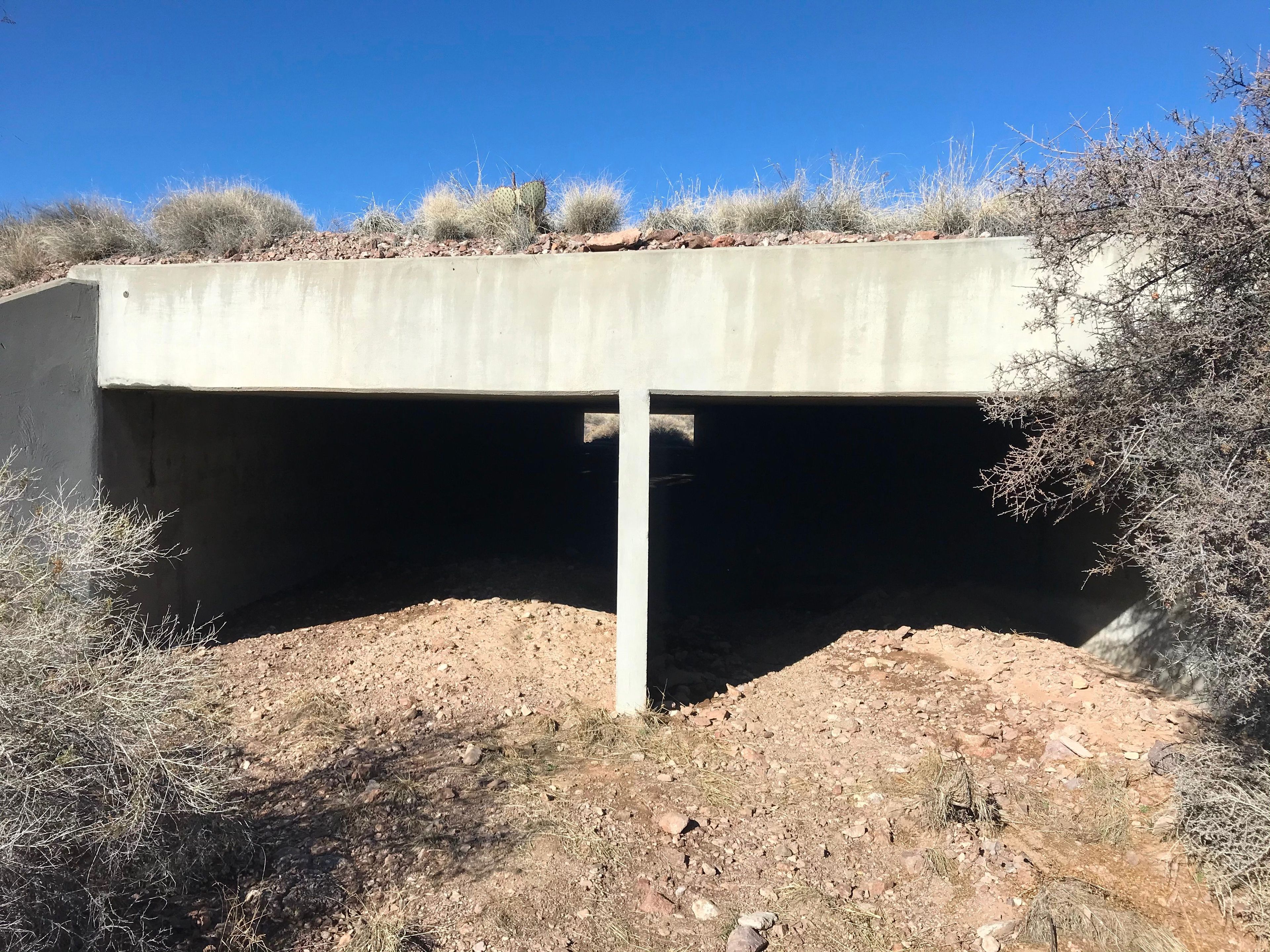
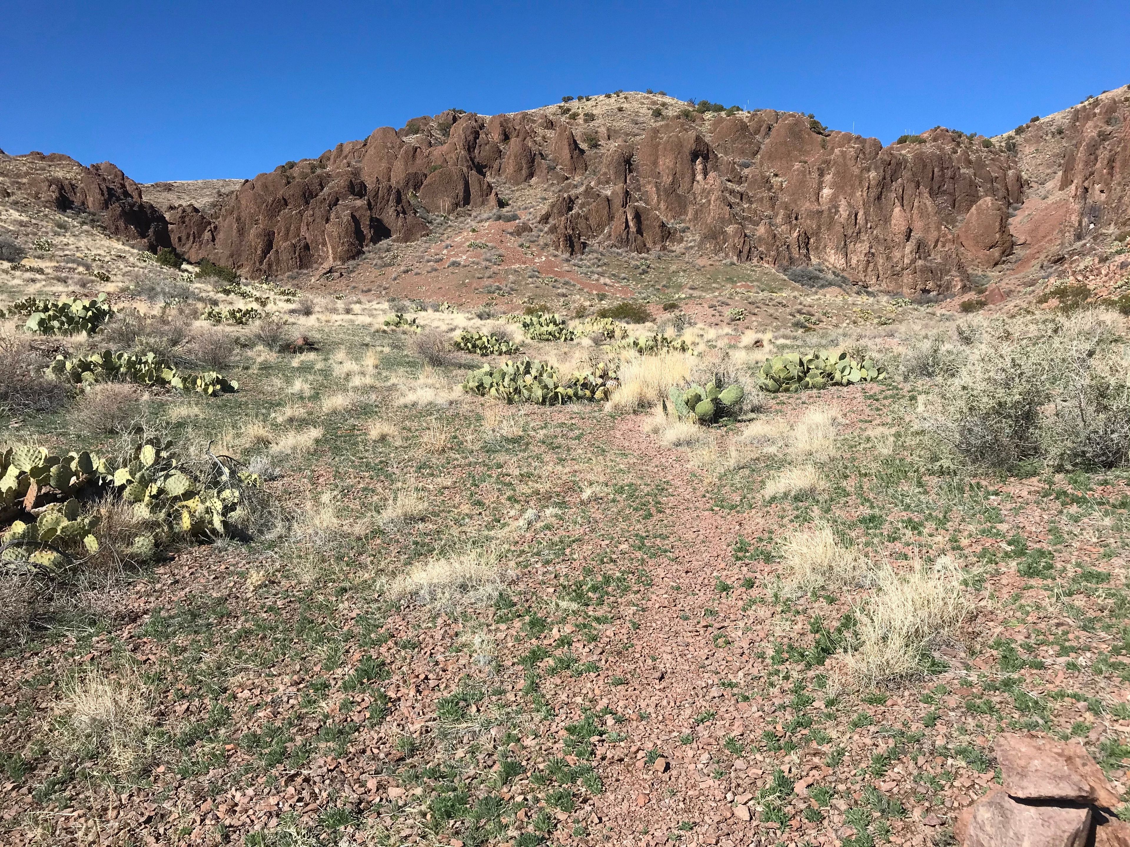
This long-distance trail offers hikers a wide range of experiences beginning at the trailhead in Chihuahuan Desert Scrub, traversing desert grasslands, and passing through several life zones before ending at the highest point on the 57,191 acre refuge with a 360 degree view of several features of central New Mexico. Elephant Butte Reservoir, The Magdalena Mountains, Ladrone Mountain, Sandia Mountains, Manzano Mountains, Oscura Mountains, San Andreas Mountains and other features too numerous to be mentioned can be viewed in the panoramic view. Tracks of javelina, mule deer, rattlesnakes and an occasional cougar may be found on the wilderness trail. Cactus and other wildflowers bloom in season. The canyon is a special geological formation of ancient volcanic activity. For much of its length, this trail traverses the Chupadera Wilderness area of the Bosque del Apache National Wildlife Refuge.

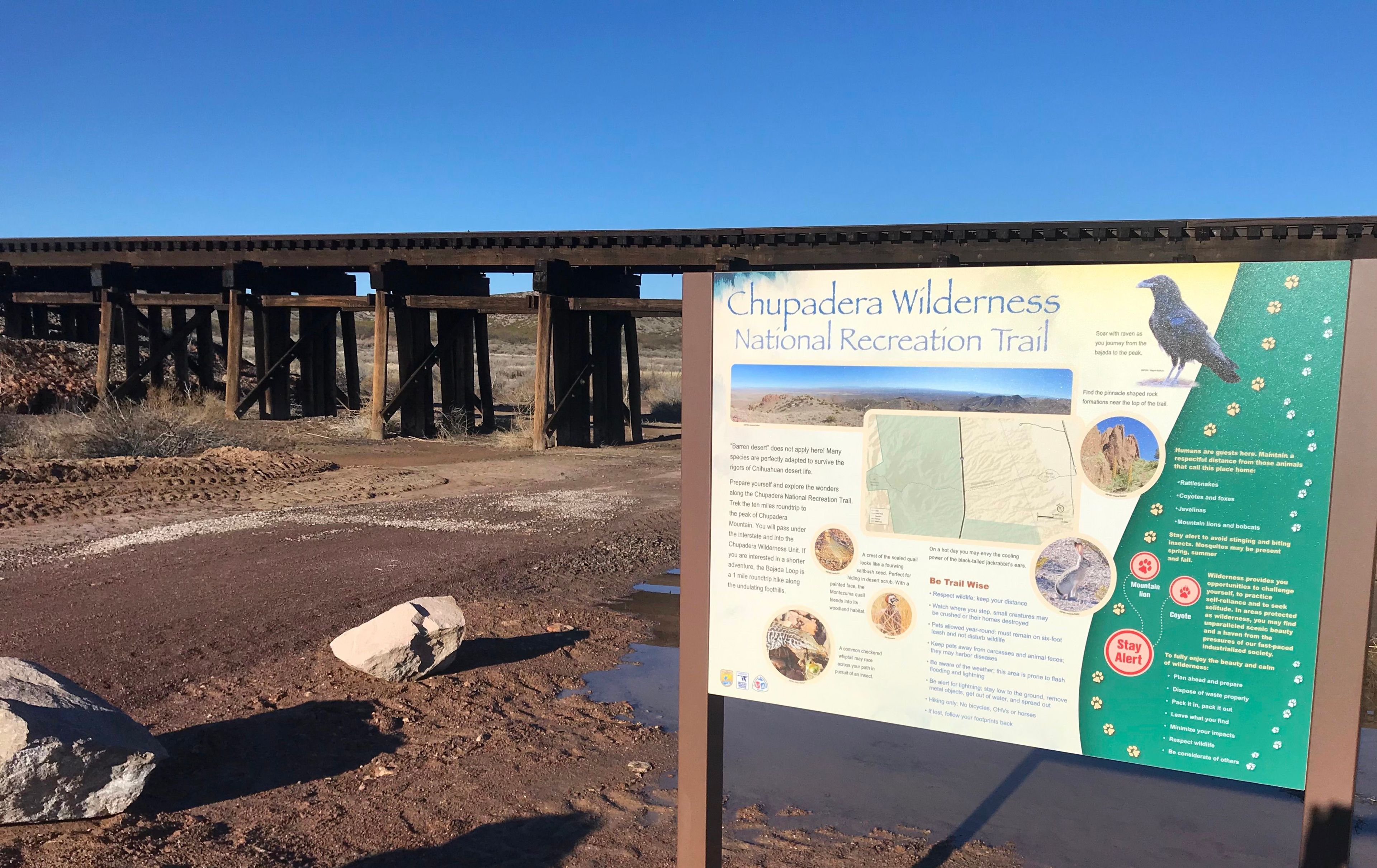
Chupadera Wilderness Trail
Point of Interest
Additional Information
Activities
National Recreation Trail Details
Length: 9.5 Miles
Loop Trail: No
Primary Trail Type: Backcountry
Additional Trail Types: Wilderness Trail
Agency: U.S. Fish & Wildlife Service
Entry Fee: -
Fee Notes: -
Parking Fee: -
Permit Fee: -
Trail Use Notes:
None
Seasonal Use Notes:
None
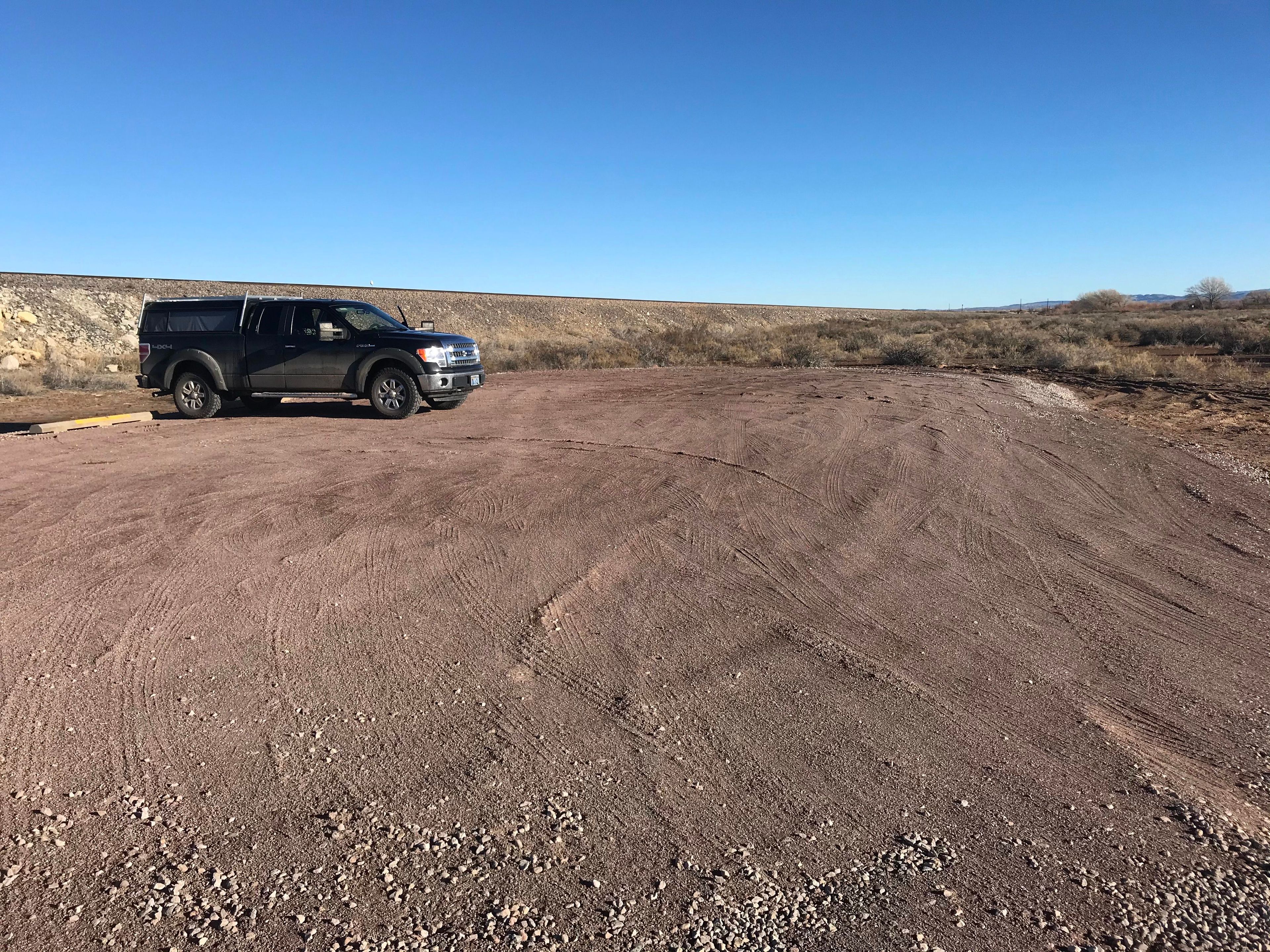
Location: Bosque del Apache National Wildlife Refuge, At Bosque del Apache NWR south of Socorro.
County: Socorro
State: NM
Townships: -
Driving Directions:
From the north (Socorro, NM), drive south on I-25 to exit 139 (San Antonio), go east 0.25 miles on US 380 to the flashing signal at the village of San Antonio, turn right onto Old Highway 1, and drive south nine miles to the Visitor Center (on right).
From the south (Las Cruces, NM), drive north on I-25 to exit 124 (San Marcial), go east on the dirt road 1.5 miles, then north on Old Highway 1 to the visitor center (on left).
Average Grade: -
Maximum Grade: 35%
Elevation High: 6242 Feet
Elevation Low: 4741 Feet
Elevation Gain: 1823 Feet
Average Width: 24 Inches
Minimum Width: -
Primary Surface: Gravel
Additional Surfaces: Sand
Year Designated: 2008