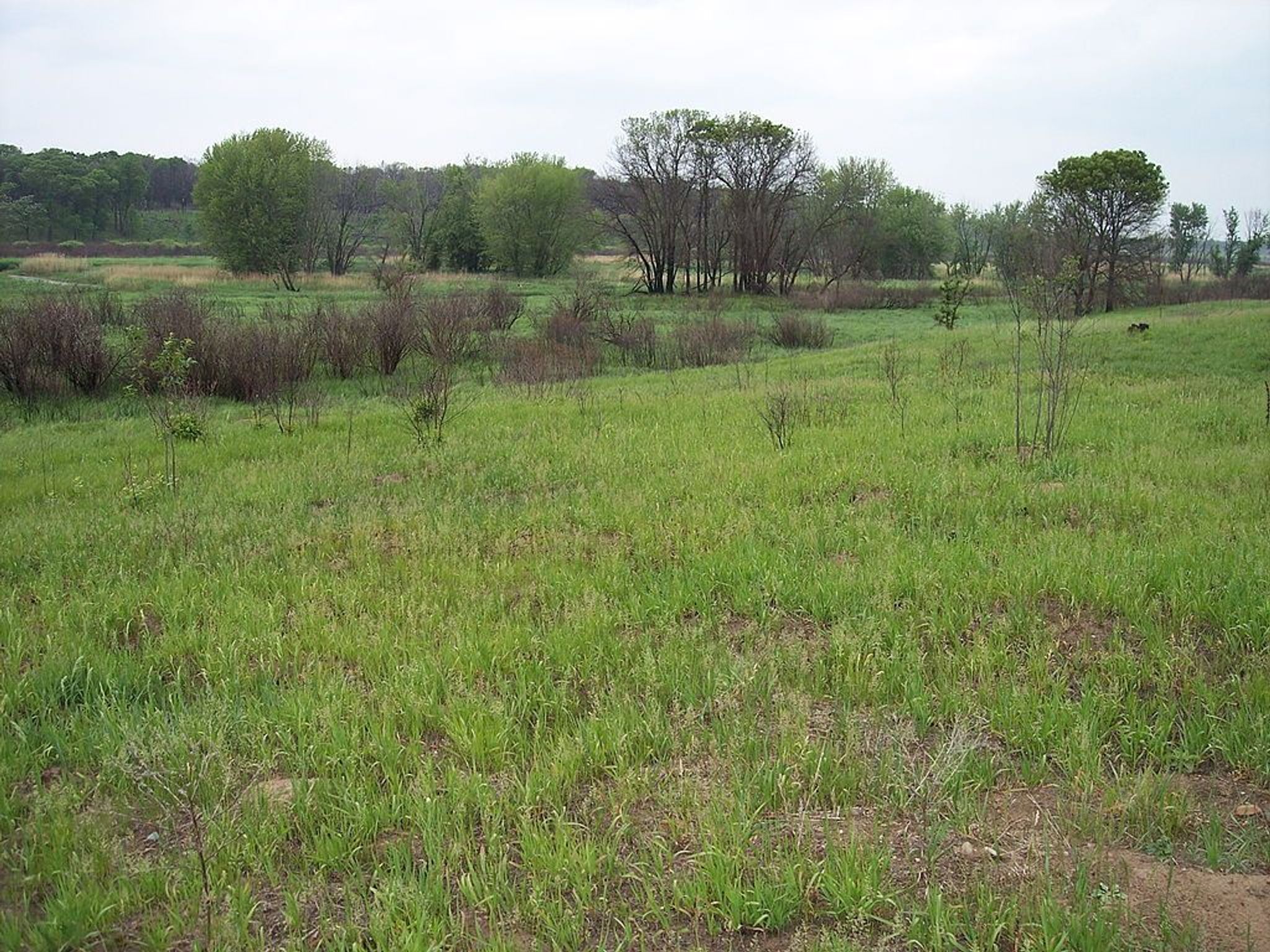
The Blue Hill Trail at Sherburne National Wildlife Refuge offers five miles of scenic hiking over moderately level terrain. Blue Hill, the highest point on the refuge, rises about 90 feet above the surrounding area. This hill of sand, rocks and gravel is surrounded by flat to rolling sandy terrain and wetlands formed by glacial meltwater 12,000 years ago.
The oak woodland along the trail is part of the oak savanna where scattered bur oak, red oak, and American hazelnut are interspersed with prairie openings and wetlands. The oak savanna is being restored through the use of prescribed burning.
The trail has three loops designed to let the visitor choose their walking distance as they travel through woodland habitat and prairie openings, skirting Buck Lake and several seasonal wetlands. An observation deck with spotting scope provides an excellent view of Buck Lake.
For more information on Sherburne National Wildlife Refuge call. (763) 389-3323. The refuge is located east of St. Cloud, Minnesota.

Blue Hill Hiking Trail
Point of Interest
Additional Information
Activities
National Recreation Trail Details
Length: 5 Miles
Loop Trail: No
Primary Trail Type: Backcountry, Nature Trail
Additional Trail Types: -
Agency: U.S. Fish & Wildlife Service
Entry Fee: -
Fee Notes: -
Parking Fee: -
Permit Fee: -
Trail Use Notes:
None
Seasonal Use Notes:
None
Location: Sherburne National Wildlife Refuge, In Sherburne NWR, NW of Zimmerman, W of US 169.
County: Sherburne
State: MN
Townships: -
Driving Directions:
-
Average Grade: 2%
Maximum Grade: 10%
Elevation High: 1090 Feet
Elevation Low: 1000 Feet
Elevation Gain: -
Average Width: 72 Inches
Minimum Width: -
Primary Surface: Grass or vegetation
Additional Surfaces: Grass or Vegetation
Year Designated: 1981